Why an accurate survey decides the outcome of a project
A building survey documents the actual state of a facility: floor plans, sections, elevations, structural and architectural details. It is the starting point for every refurbishment, modernisation or renovation project - whether it is a 1970s house, a 5,000 m² production hall or a listed 1905 tenement.
When measurements are inaccurate, the consequences surface on site: prefabricated elements do not fit, service routes clash with existing beams, and the contractor waits for revised drawings. The difference between a 2D survey and a 3D survey (point cloud + BIM model) plays out across four dimensions: time, total cost, measurement error risk and clash risk.
Definitions: structural, architectural, geodetic
- Structural survey - load-bearing and partition walls, slabs, beams, staircases, transfer beams.
- Architectural survey - floor plans, elevations, decorative detail, functional layout.
- Geodetic survey - the building's position on the plot, structural axes, levels, utility connections.
Each can be delivered traditionally or with a laser scanner. The difference lies in how data is captured, not in the scope of documentation. Deliverables: 2D drawings (DWG/PDF), BIM models (RVT/IFC) or a raw point cloud (E57/RCP/XYZ).
How a traditional survey works (tape, laser distance meter, sketches)
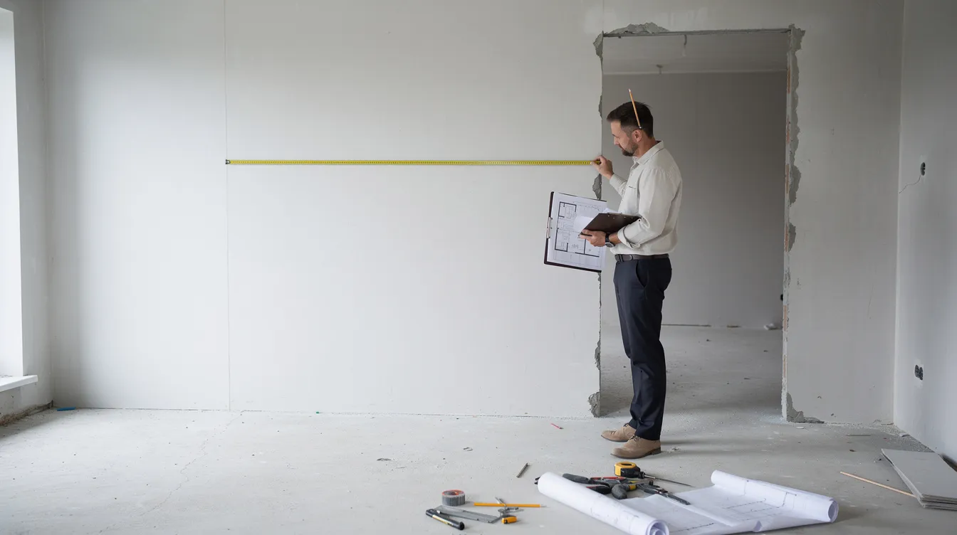
A team of two or three enters the site with a 5-30 m tape, a construction-grade laser distance meter (±1-3 mm), a level and a sketchpad. Detailed measurement takes:
- 60 m² apartment - about 3-4 hours (two people).
- 180 m² house with an attic - a full working day.
- 800 m² tenement - 2-3 days.
Back in the office the sketches are digitised in CAD over another 1-5 days, with missing dimensions filled in from memory or by estimate. This stage produces the 2D documentation - and most of the inaccuracy.
Limitations of traditional methods
- Time - a full manual survey of a 2,000 m² office building takes 2-3 calendar weeks.
- Human error - mixed-up axes, a wrong dimension (345 instead of 354 cm). A documented case study of a Polish district court found deviations exceeding the ±2.5 cm tolerance for 1:50 scale.
- Complex geometry - wall curvature and slab deformation are not captured; in old tenements errors accumulate to 10-15 cm along a roof.
- Hard-to-reach areas - tall halls, technical attics and ceiling-level services are often skipped or measured indirectly.
- Incomplete data - six months later the beam or duct dimensions are missing and a site revisit is required.
- Poor discipline coordination - no shared 3D view for clash detection.
3D surveying: how laser scanning and point clouds work
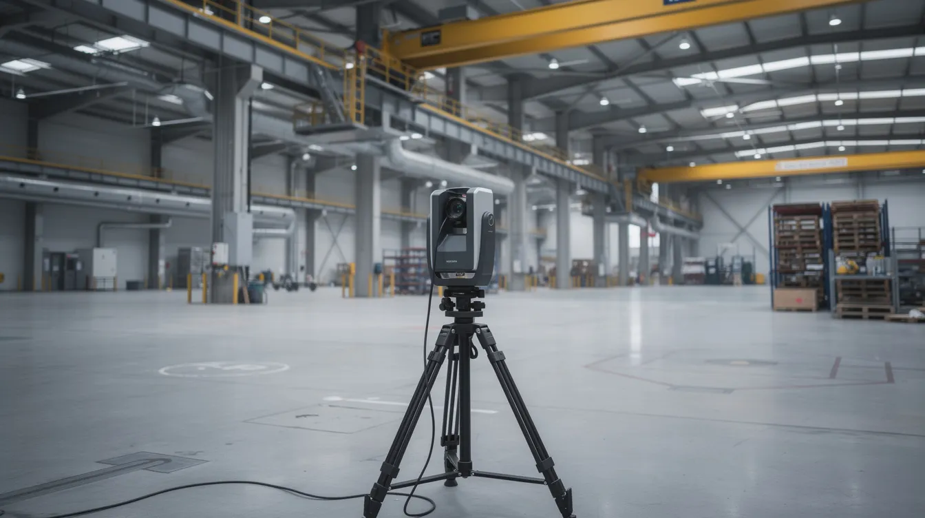
3D scanning relies on TLS-class instruments (FARO Focus, Leica RTC360). How it works and what it covers:
- The scanner emits a laser beam and records X, Y, Z coordinates plus colour (RGB) - up to 1,000,000 points per second.
- One setup captures a full 360° view in 1-3 minutes. A 70 m² apartment needs 8-12 setups, a 5,000 m² hall several dozen to over a hundred.
- The point cloud is a dense three-dimensional record of the building geometry, from millions to billions of points.
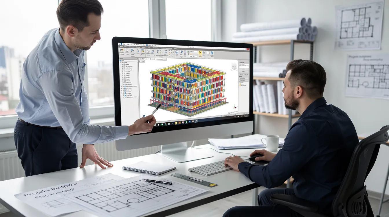
- The BIM model is built from the point cloud - a 3D survey creates a digital twin of the building.
- Process: field scanning (1 day), registration and cleaning (1-3 days), then BIM modelling or 2D drawings.
Key advantages of a 3D survey
Accuracy
±1-2 mm over 10-20 m. For steel prefabrication or HVAC, a 5-10 mm deviation can be critical.
Speed
1,000 to 3,000 m² of usable floor area can be scanned in a single day.
Complete data
One capture records everything the scanner sees - any dimension can be retrieved later without a site visit.
Coordination
Architecture, structure and services work in one consistent model - fewer design errors.
Safety
No ladders needed for a cornice at 8 m; non-invasive, which matters for heritage buildings.
Live facilities
Malls, hotels and production plants can be surveyed without shutting the building down.
Head-to-head comparison
The comparison is based on 2024-2026 market data and experience from industrial and residential buildings.
Time on site
- 80 m² apartment: 3-4 h traditionally, 30-60 min scanning.
- 4,000 m² hall: several days traditionally with revisits, 1 day scanning.
- In the office: redrawing sketches vs working on a point cloud with partial automation.
Accuracy and clashes
- Traditional: errors accumulate, wall and slab deviations go unchecked.
- 3D: globally consistent measurements and fewer cross-discipline clashes.
Data completeness
- Traditional: only what the designer anticipated gets captured.
- 3D: the raw point cloud is a full digital record, available years later.
Total cost (ROI)
- The traditional method looks cheaper upfront but generates revisits, drawing revisions and delays.
- Average 3D scanning cost: EUR 900-1,150 net per working day covering 1,000-3,000 m².
Practical examples
6,000 m² production hall (2024)
Traditional survey, two revisits for extra measurements, 3 weeks of delay. During installation ducts clashed with existing beams - rework cost tens of thousands of euros.
1910 tenement (1,200 m²)
1.5 days of scanning, BIM model in 3 weeks, zero revisits. The heritage officer approved the elevation documentation first time.
1,000 m² office refurbishment (2025)
3D cost about 35% more at survey stage but avoided a one-month delay to the office opening - the lost rent far exceeded the difference.
When traditional is enough and when 3D is the standard
Traditional is enough when:
- The property is a small apartment up to 40-50 m² with simple geometry.
- The refurbishment does not touch the structure.
- The budget is very tight and there is no BIM requirement.
3D should be the standard when:
- You are dealing with industrial halls and warehouses from 1,000 m² upwards.
- The project involves heritage or sacral buildings.
- Multi-discipline coordination is required (prefabrication, steelwork, MEP, thermal upgrades).
- The tender specification requires BIM documentation.
- The consequences of measurement errors are expensive.
Quick checklist before you decide:
- Is the floor area above 200 m² or are there more than 2 storeys?
- Does the project require coordination of more than two disciplines?
- Does the client or contracting authority require a BIM model?
- Could a measurement error cost more than the price difference between methods?
If the answer is yes to two or more, 3D scanning is worth considering - even partially.
The 3D survey process step by step
- Enquiry and brief - location, area, number of storeys, building type and expected deliverable.
- Scan planning - agreeing dates and access; for three-shift plants, work outside production hours.
- Fieldwork - residential buildings 1 day, 5,000-8,000 m² halls 1-2 days.
- Data processing - registration, cleaning and segmentation of the point cloud.
- Documentation - plans, sections, elevations, BIM model at LOD 200-400.
- Handover - DWG/PDF files, point cloud, RVT/IFC model.
Cost and payback
Survey cost depends on area and complexity - prices range from a few to a dozen euros per m², and BIM models for large facilities cost EUR 7,000-12,000.
- 200 m² house: about EUR 470 net traditionally vs EUR 1,150-1,650 net for a scan plus 3D model.
- 4,000 m² hall: EUR 3,500-4,700 traditionally vs EUR 5,800-8,200 for a scan plus 3D/2D documentation.
When the higher cost pays off:
- Fewer clashes on site - a single serious clash costs tens of thousands of euros.
- No standstill for installation crews.
- No repeat measurements or drawing corrections.
- Eliminated risk of ordering the wrong prefabricated elements.
On projects above EUR 250,000-500,000 the cost of a 3D survey is a fraction of a percent of the investment - and can protect several percent of the budget.
Summary
Traditional measurement will not disappear - for small, simple jobs it still does the job. On complex investments, where discipline coordination and construction risk reduction matter, laser scanning and point cloud workflows are the safer standard. Calculate not just the cost of the survey, but the total cost of risk.
Let's run the numbers for your building
Tell us what you need surveyed - we'll tell you whether a 3D scan pays off and what it really costs.