Services - 03
3D Scanning
Capture reality with millimetre precision. From point clouds to BIM models - we deliver complete surveying solutions that save time and eliminate design errors.
What we deliver
Perfect representation. Uncompromising data quality.
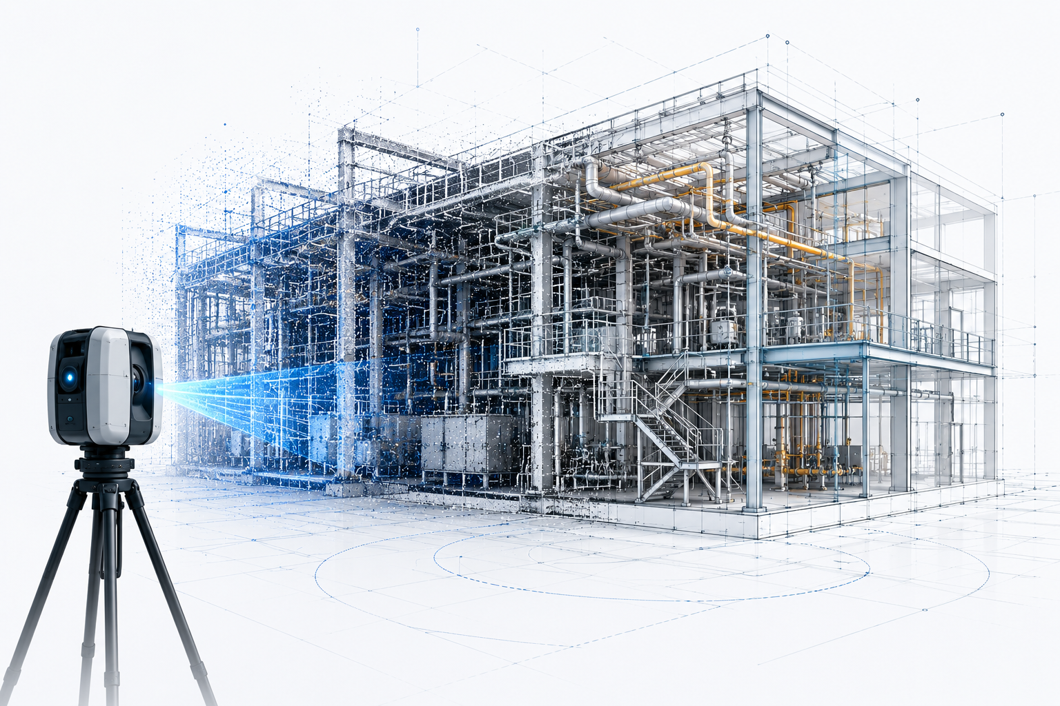
A modern, non-contact spatial measurement technique that captures extremely dense point clouds in a short time. Using advanced terrestrial scanners (both indoors and outdoors), we precisely record the geometry, shapes and dimensions of buildings, installations and the surrounding terrain.
Fully cleaned, registered and spatially aligned point clouds. We deliver data in formats such as E57, RCP, RCS, LAS or LAZ - ready to be used immediately as a reliable base for further design, discipline coordination or as-built documentation.
Three-dimensional polygon surfaces (triangle or quad meshes) generated directly from point clouds. They faithfully reproduce real-world geometry and provide an excellent basis for advanced engineering analysis, visualisation and digital twin creation.
Floor plans, sections and elevations produced directly from the collected scans. Reliable, trustworthy drawings widely used by investors and architects as a solid starting point for any refurbishment project.
Accurate architectural, structural and MEP models (sanitary, mechanical and electrical) built from point clouds. Used for multi-discipline coordination, project development and full lifecycle facility management.
Inspect a facility remotely from anywhere in the world. Browse and analyse captured spatial data through an intuitive digital viewer, sharing the site with every project participant without leaving the office.
"Measure once. Build with absolute certainty."
Request a quote
or call: +48 603 779 066
Tell us about your project - we reply within 24 hours.