3D laser scanning of buildings - price, point cloud and practical uses
How building laser scanning works, what you actually get in a point cloud, what it costs, and why the cloud alone is only the start of the road to a BIM model.
Key takeaways
- 3D laser scanning is the fastest and most accurate way to capture spatial data for BIM and 2D documentation - it speeds up as-built surveys by up to 80% compared with traditional measuring.
- Indicative prices: a 70 m² apartment from approx. EUR 950 net, a 1,000 m² office building from approx. EUR 2,800-3,500 net, a scanner day rate is EUR 950-1,200.
- The point cloud alone is only the beginning - the real value comes from a BIM/CAD model with cross-discipline coordination.
- Slefty delivers scanning and BIM development across Poland and Europe, and prices every job individually based on drawings, photos and project goals.
What 3D laser scanning of a building actually is
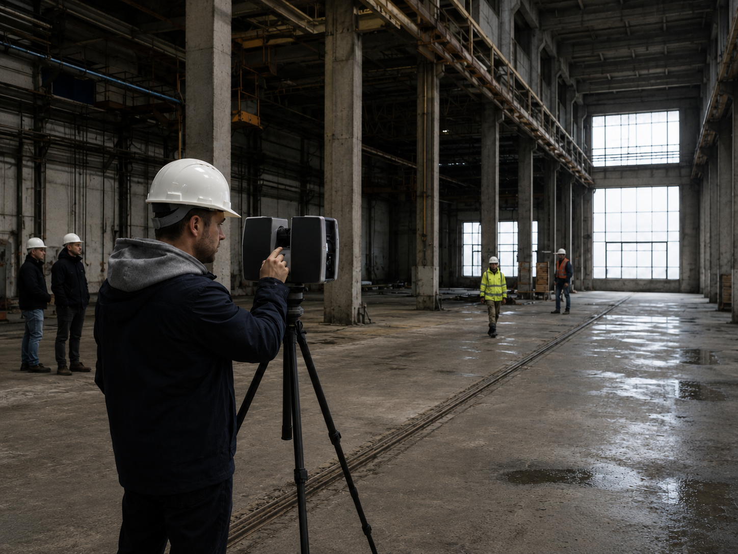
3D laser scanning is a technology for fast and highly accurate as-built surveying. The scanner emits millions of laser pulses per second and calculates the distance to each point from the light's return time, with sub-millimetre precision. The result is a dense point cloud - a digital copy of the asset containing millions of XYZ coordinates, usually enriched with colour and reflection intensity.
At Slefty, scanning is the entry step - the starting point for BIM models, construction and as-built documentation. We scan an apartment up to 100 m² in 1-2 hours, a 3,000 m² hall in a single working day, and data processing typically takes 2-10 days.
The point cloud - what exactly you get
A point cloud is the raw output of scanning - a record of millions of points with X, Y, Z coordinates, often with RGB colour. We deliver it in standard formats, agreed with you at the order stage.
The difference between a raw and a cleaned cloud matters: we remove people, vehicles and noise and refine the registration between setups before the data goes into design work. From there we generate 2D plans, sections, facade orthophotos and deviation analyses. The cloud is always planned 'for BIM'.
Practical applications
Why a point cloud alone is not enough
Many providers stop at handing over the point cloud. That shifts the work onto the architect or MEP engineer, who then has to turn millions of points into a usable model. We specialise in using the cloud as the basis for BIM models at LOD 200-400, with structure, services and architecture clearly separated.
- Easy quantity take-offs for materials and elements
- Clash detection between disciplines
- Cross-discipline coordination on a single model
- A model that keeps working through later project stages
How much does 3D laser scanning of a building cost
There is no single price list - cost depends on area, complexity, number of storeys and the expected deliverable. The net figures below are indicative and reflect 2025-2026 market conditions.
A day on site with a professional scanner costs EUR 950-1,200 net; in one day we scan 1,000-3,000 m². A high-LOD BIM model for a large asset typically costs EUR 7,000-12,000. These figures are indicative and do not constitute a binding offer.
What drives the quote
- Area and number of storeys - more square metres and floors mean more scanner setups.
- Asset type - residential, office, industrial or heritage; each needs a different approach.
- Access - operating plant, occupied building, night-only work.
- Required accuracy and point cloud density.
- Expected deliverable - cloud only, 3D model, BIM model or full 2D documentation.
How scanning works, step by step
- 1Review of your material - drawings, photos, room list.
- 2Scope definition - point cloud, BIM model, 2D documentation and required precision.
- 3Scheduling - working hours, health and safety, access to rooms.
- 4Scanning - interiors and facades captured from dozens or hundreds of setups.
- 5Data processing - registration of setups, cloud cleaning, accuracy control.
- 6Delivery - BIM model, 2D drawings, files in the agreed formats.
Why Slefty
- Scanning and 3D modelling of entire buildings across Poland and Europe
- Experience with large assets (halls of 5,000-15,000 m², industrial sites with dense infrastructure)
- Reverse engineering of services and structure for downstream design and prefabrication
- LOD matched to the project goal - we model where it affects decisions
- Terrestrial and mobile scanners plus drone photogrammetry - matched to the asset
FAQ
Is 3D laser scanning safe for people and heritage structures?
Yes. Survey scanners operate in an eye-safe class, and the measurement is contactless and does not touch the structure. The technology is widely used to document heritage and sacred buildings under conservation supervision.
How long do you keep the point cloud?
We archive point clouds and deliverables for at least 5 years by default, with the option to extend. You can come back to the data, update the BIM model or run extra analyses without rescanning.
Can scanning of a large asset be split into phases?
Yes - for campuses, production plants or assets above 20,000 m² we plan work in phases while keeping a consistent reference system, so the phases merge into one model.
Can scanning be combined with drone surveys?
For extensive sites and high roofs we combine terrestrial laser scanners with drone photogrammetry and integrate everything into one point cloud.
Do you only scan, or also deliver the full model?
We cover the full path: from point cloud, through 3D model, to a BIM model with structure, services and architecture separated, plus construction drawings.
Need a scanning quote?
Send us a floor plan, a few photos and the intended scope - you get a no-obligation quote and a scope proposal.